SEE HOW IT WORKS, ONE SCREEN AT A TIME.
Stage Guides is a web-based app, quick and easy for your spectators to open and use. Nothing to install, no account. Below, every part of the mobile event field guide as a spectator sees it: tap a row to open it.
What a spectator finds in the guide.
Open it from a link or a QR codeThe organizer's link or QR code opens the event in the phone's browser. No account, nothing to install.
Scan the code on the poster or the program, or tap the link. The organizer's safety rules come first; accept them and the event is on the screen.
Add it to the home screen and it opens like any app, with its own icon. The first open needs service; after that the event is on the phone.


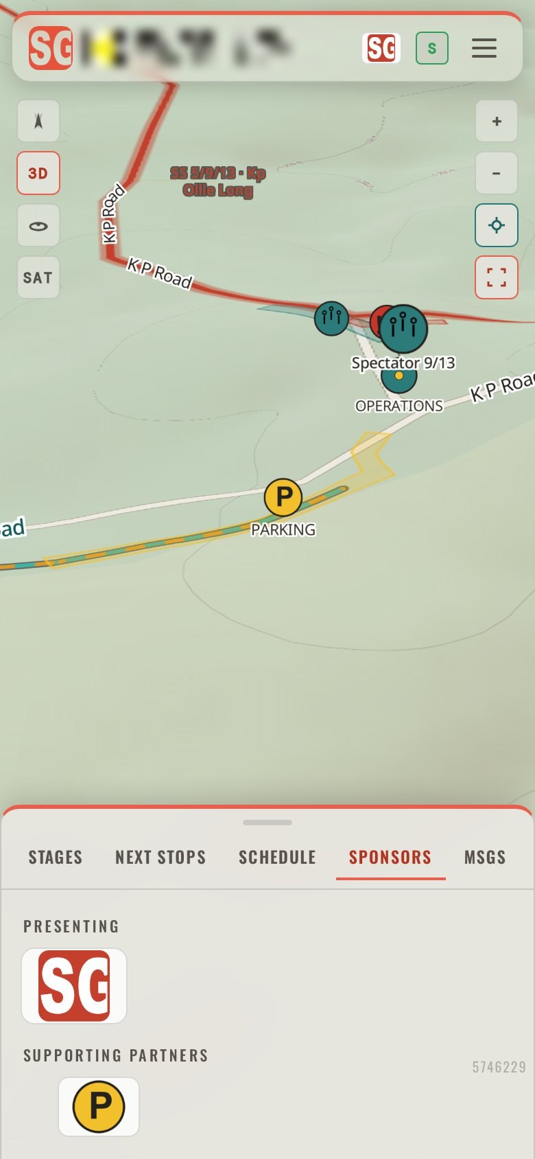
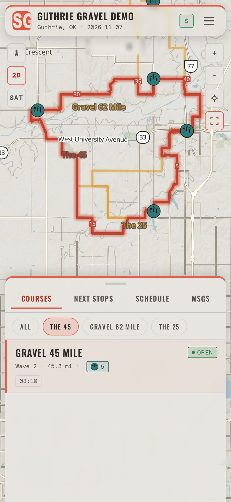
The mapThe whole event on one map: stages or courses, spectator areas, parking, service, start and finish, on the terrain.
Pinch to zoom. Drag with two fingers and the map tilts, and the hills stand up. The layers button switches between the map and satellite imagery.
A tap on a place shows it in the tray without moving the map; a tap on its row in the tray flies the map to it. A tap on a stage lights it; a hold opens its card.
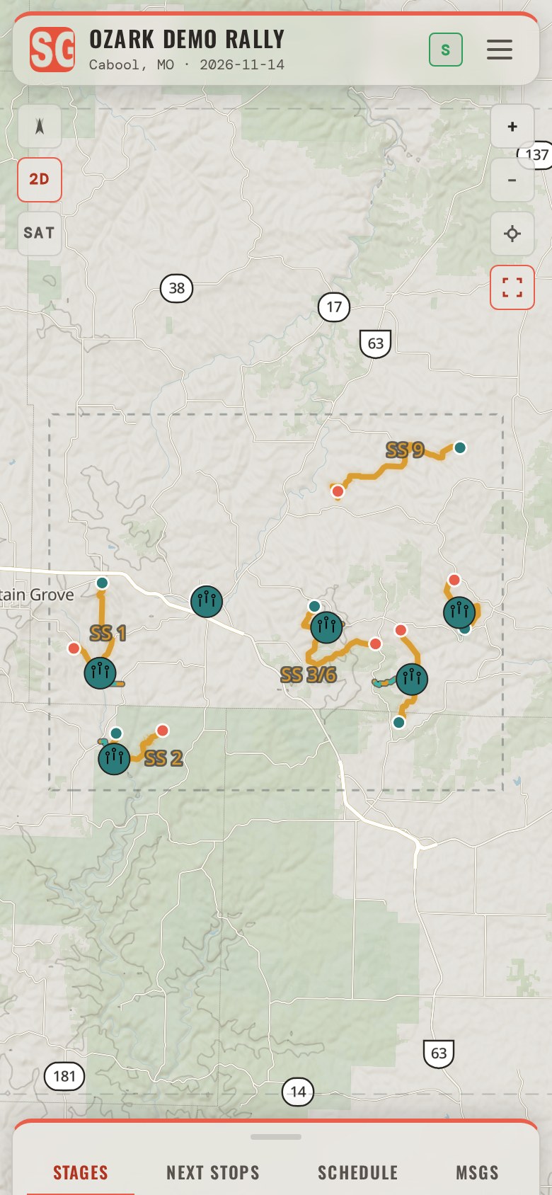
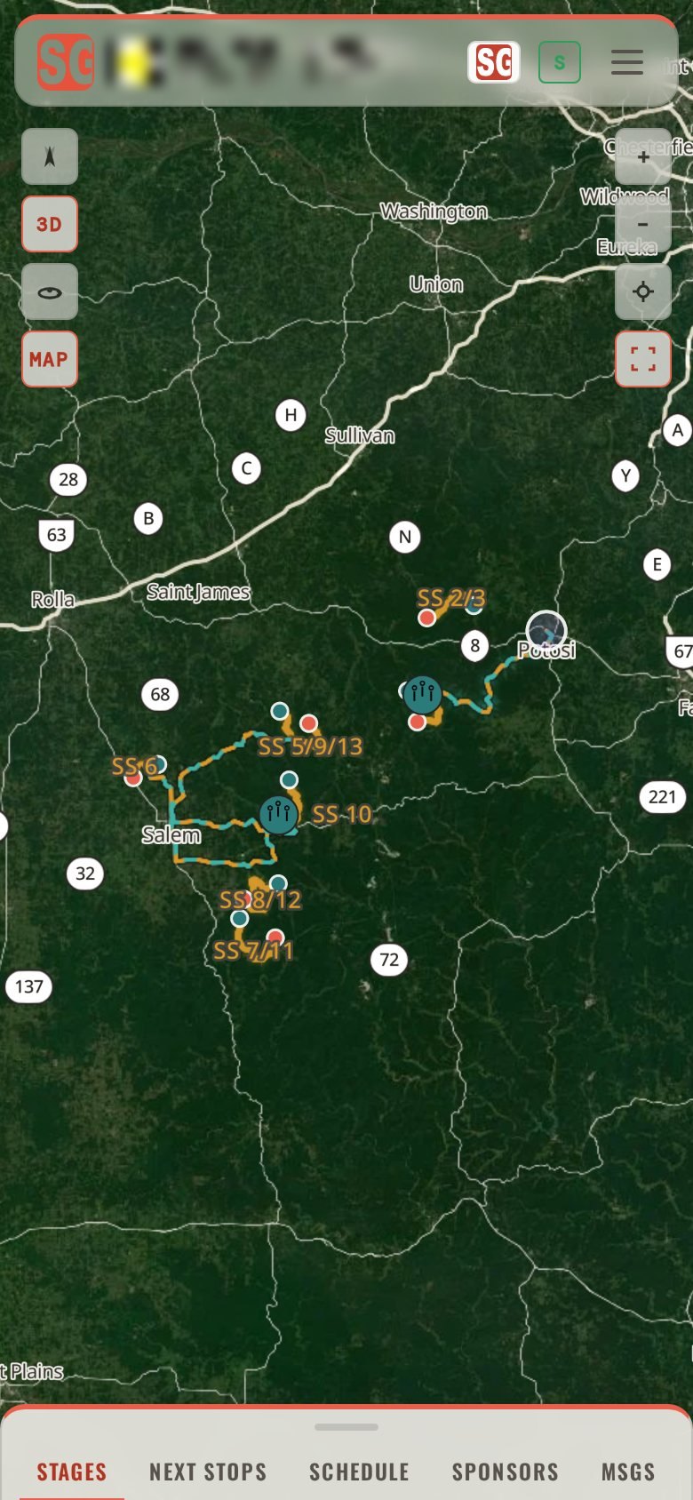
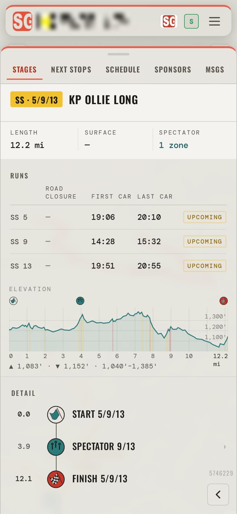
The STAGES tabEvery stage or course in running order, with what is on it: the start, the finish, the spectator areas and their parking.
Tap a stage to light it on the map; hold it to open its card, with its length, its first and last car, the climb and the places to watch from.
Spectator areas are grouped by zone with their parking and the walk in, so the tray reads the way the organizer laid the event out.
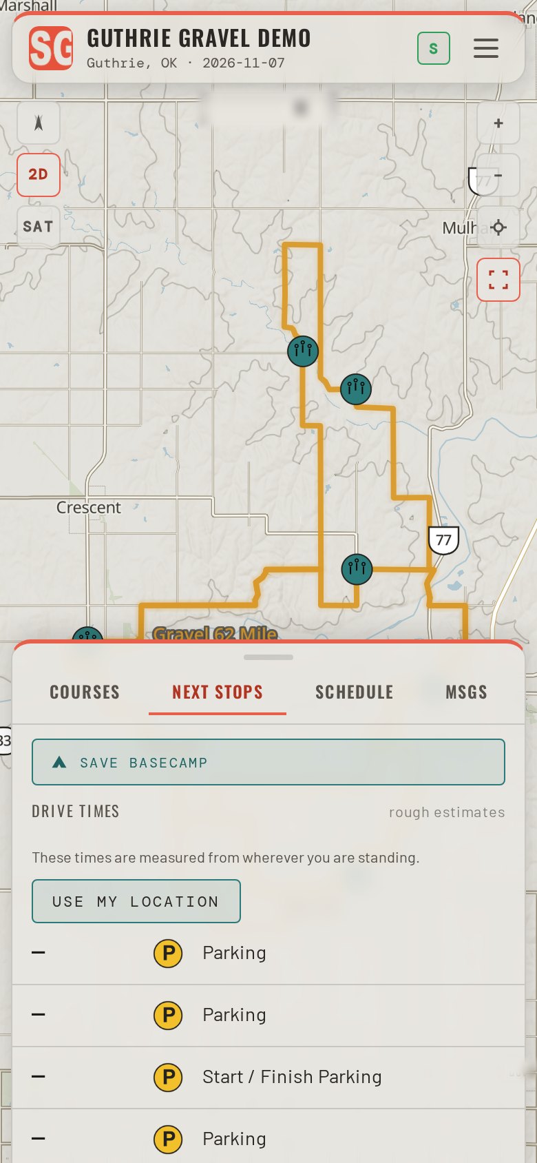
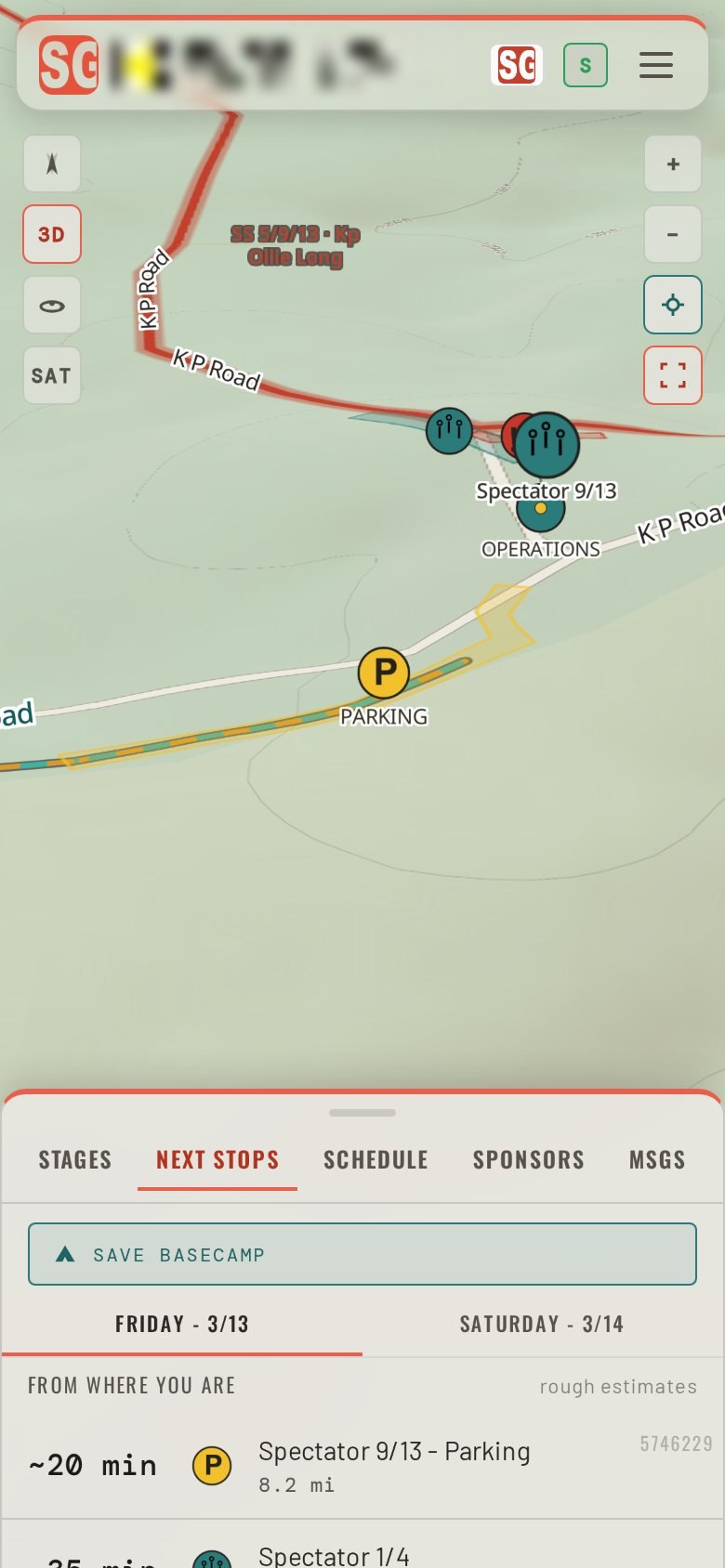
What’s next: the GO tabThe next stops of the day, with the drive time to each from where you are.
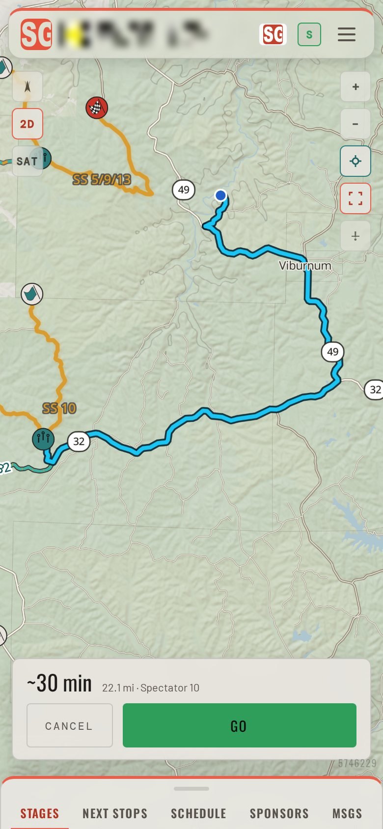
The GO tab lists what is coming next and how long the drive is from where the phone is right now, worked out on the phone over the event's saved roads.
One tap on a stop opens its card; NAVIGATE HERE starts the directions.
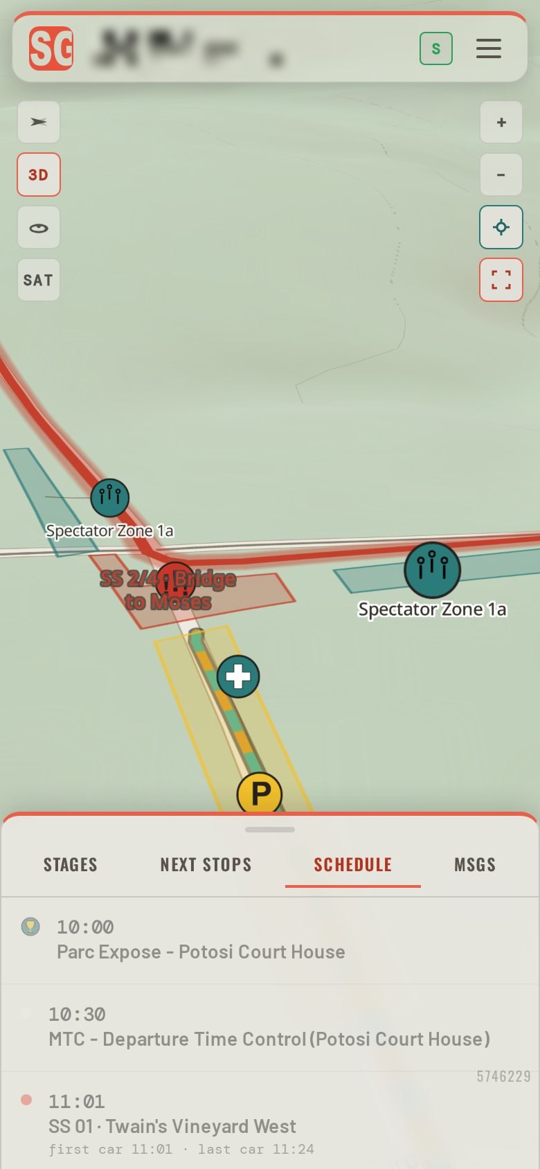
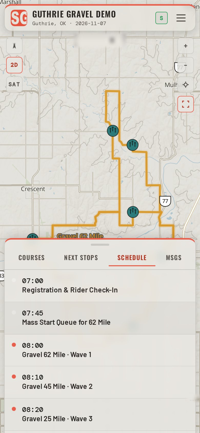
The SCHEDULE tabThe day's schedule as the organizer wrote it, and the organizer's notices.
Each day on its own tab, with the first and last car at each stage. When the organizer changes the schedule, a NEW banner says so and the tab shows the change.
Road status, an alert that stays at the top until it is cleared, and notices arrive in the same guide the next time the phone has service.
Turn-by-turn directionsFrom wherever you are to any spectator area, around the roads the event closes.
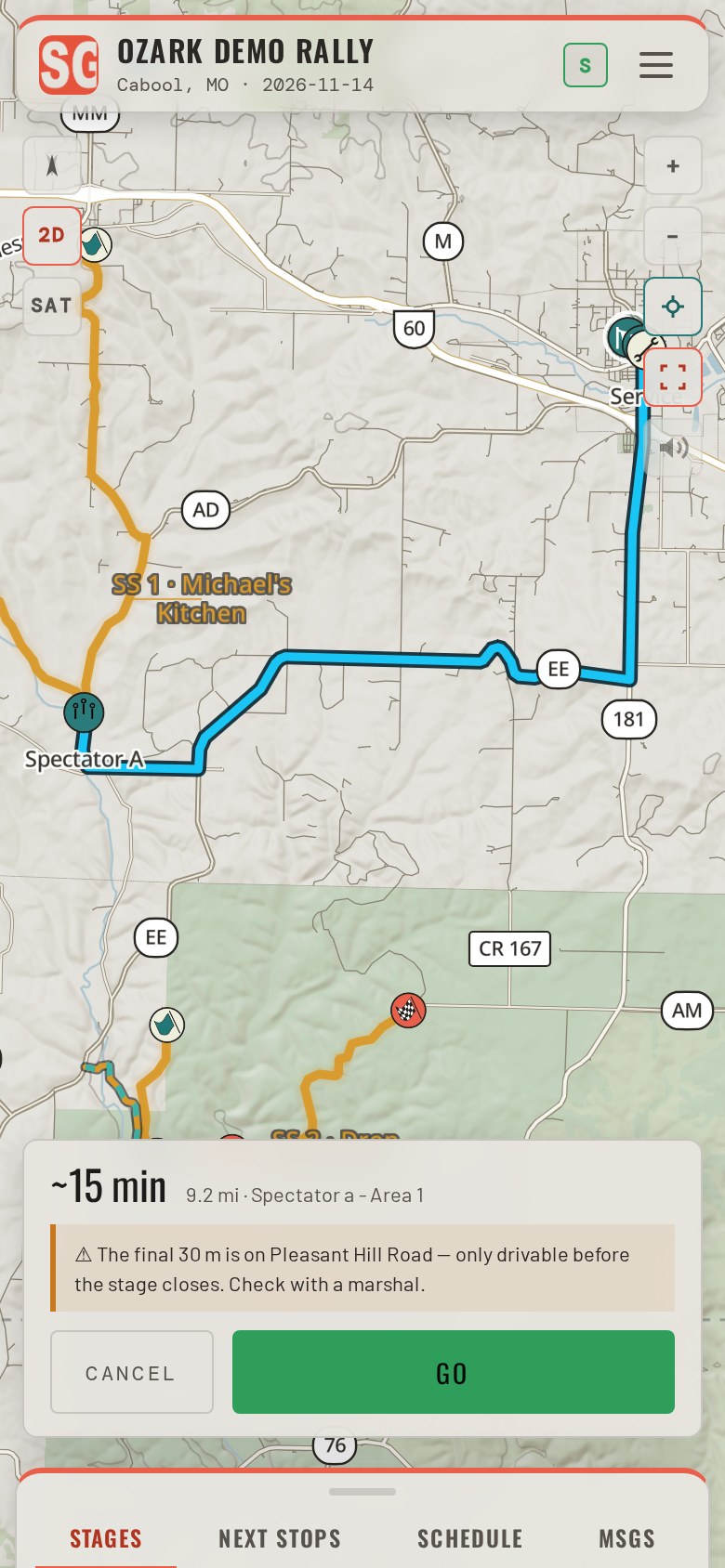
Pick a place and tap NAVIGATE HERE. The route is worked out on the phone over the event's saved roads: it keeps off the closed stage, and crosses the course only at the organizer's crossings.
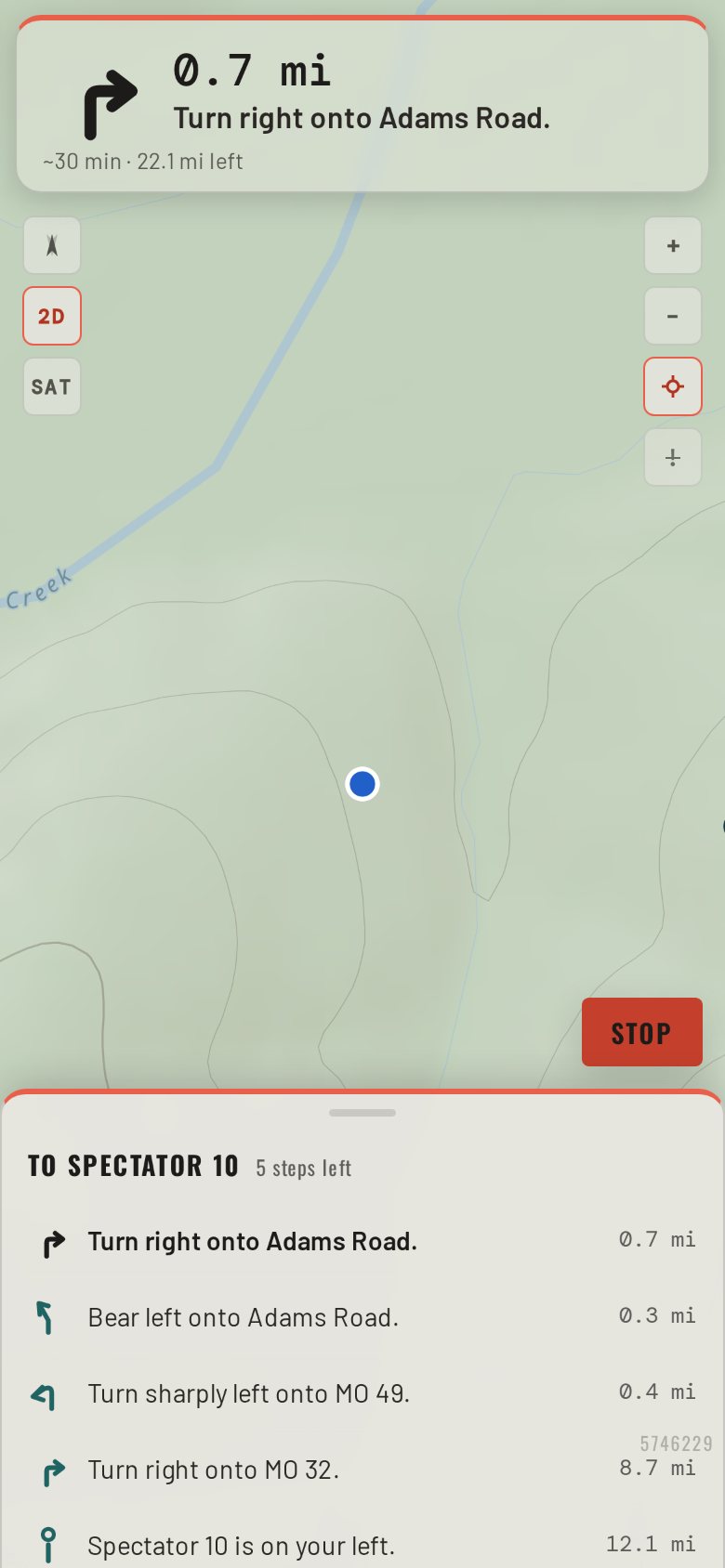
Each turn is spoken, and the cue sheet lists every turn to the end.
Driving modeThe next turn, large. Nothing to type while the car moves.
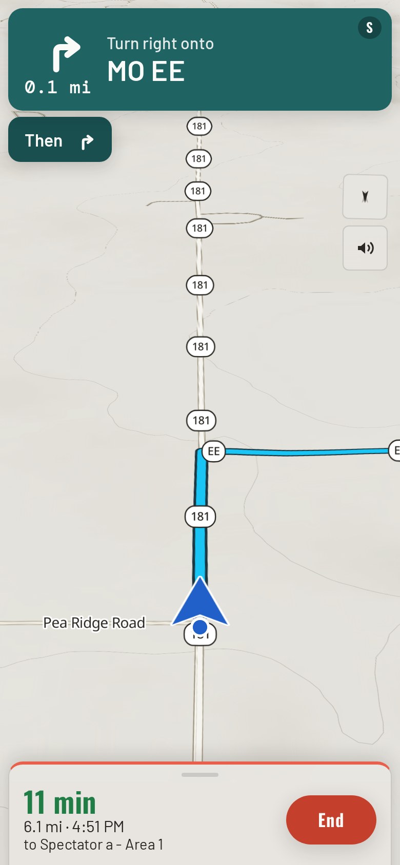
Once the car is moving the screen shows the next turn and the distance to it, large enough to read at a glance, with the turn spoken.
A tap on the overview shows the whole route; a wrong turn is re-routed from where the car is.
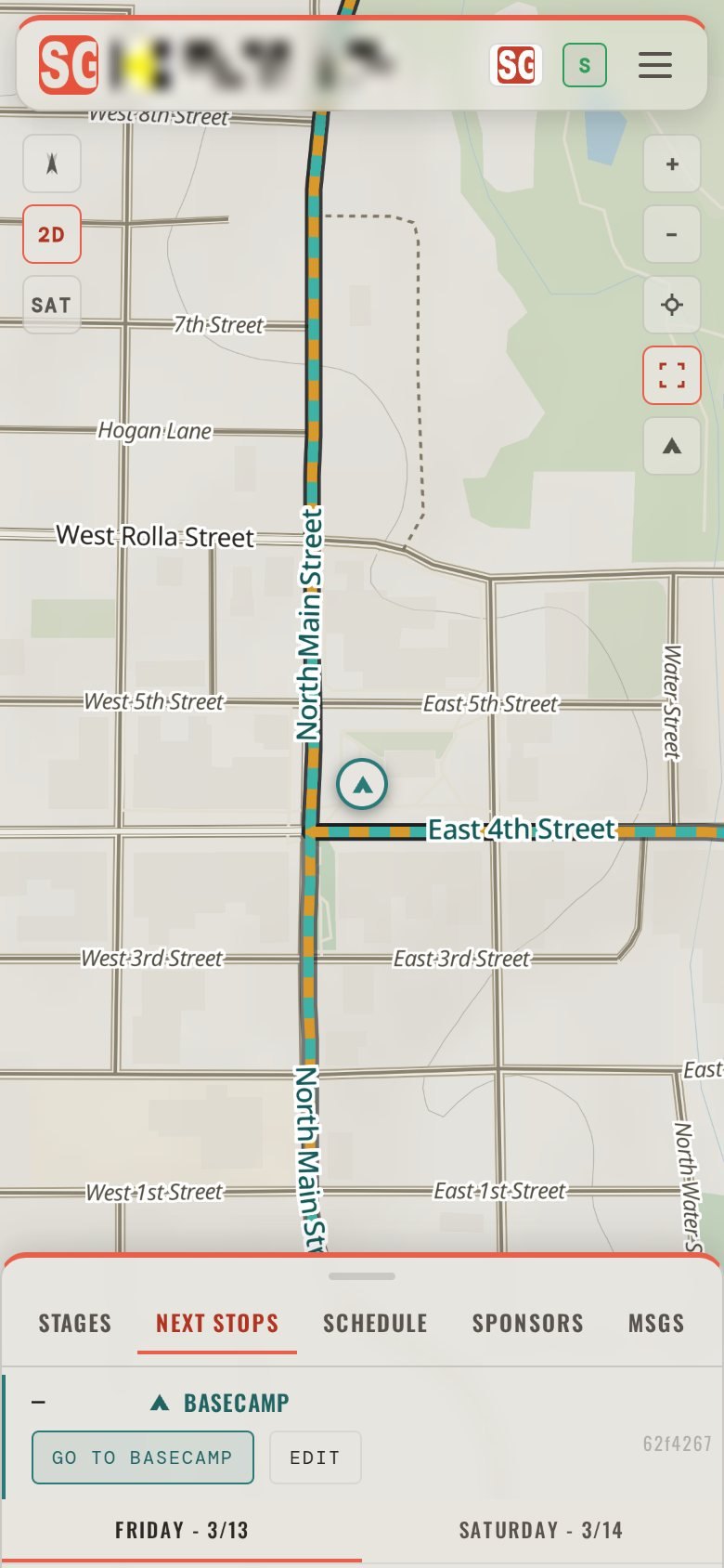
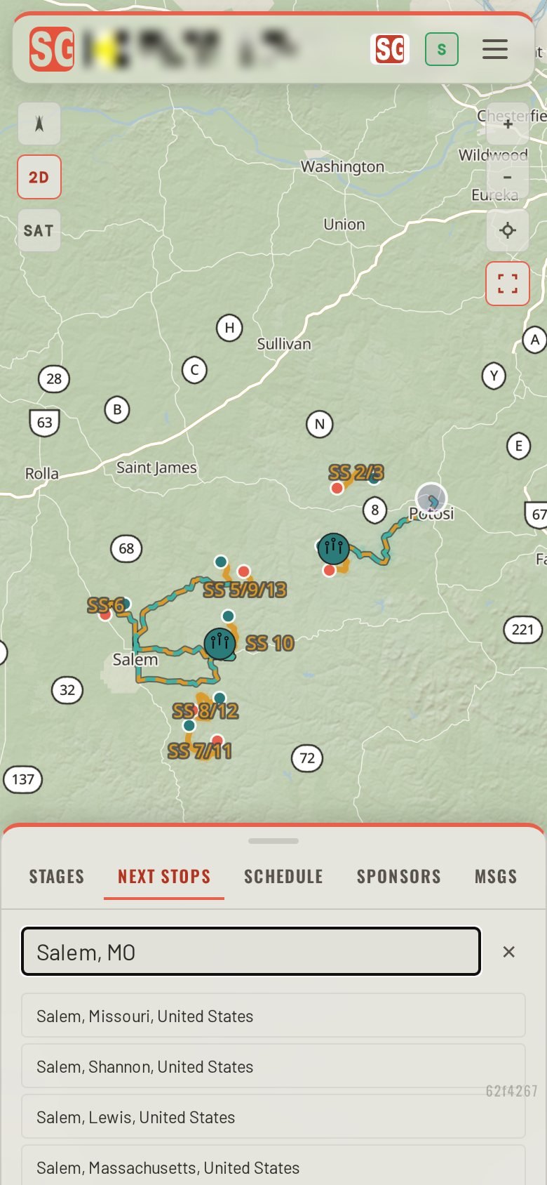
BasecampSave where you are staying, and get back to it from anywhere in the saved area.
Drop a pin or search the address once. From then on GO TO BASECAMP routes you back from any spectator area, with the drive time shown beside the next stops.
It stays on your phone and goes nowhere else.
Offline cachingThe event saves itself to the phone the first time it opens with signal.
The map, the roads and the places save on the first open, and the guide says so when it is done. Where there is no signal the map and the directions keep working, within the saved area.
Satellite imagery, the 3D view and new notices from the organizer need a connection.
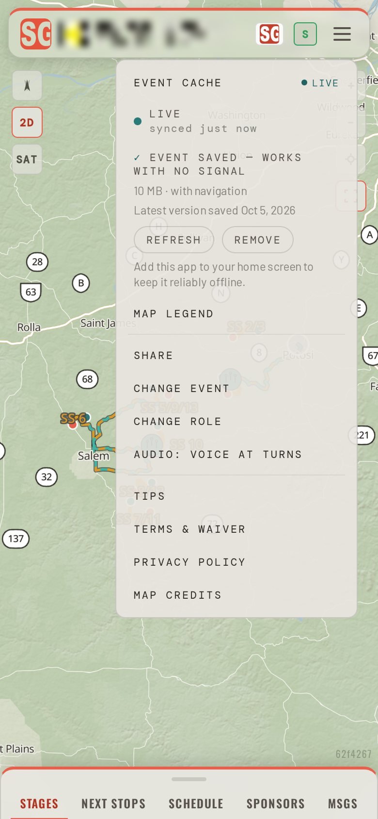
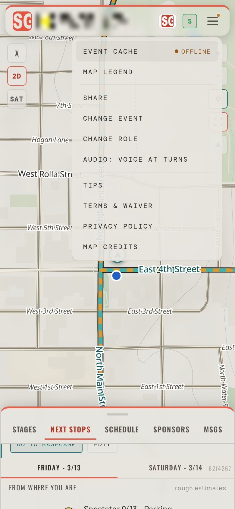
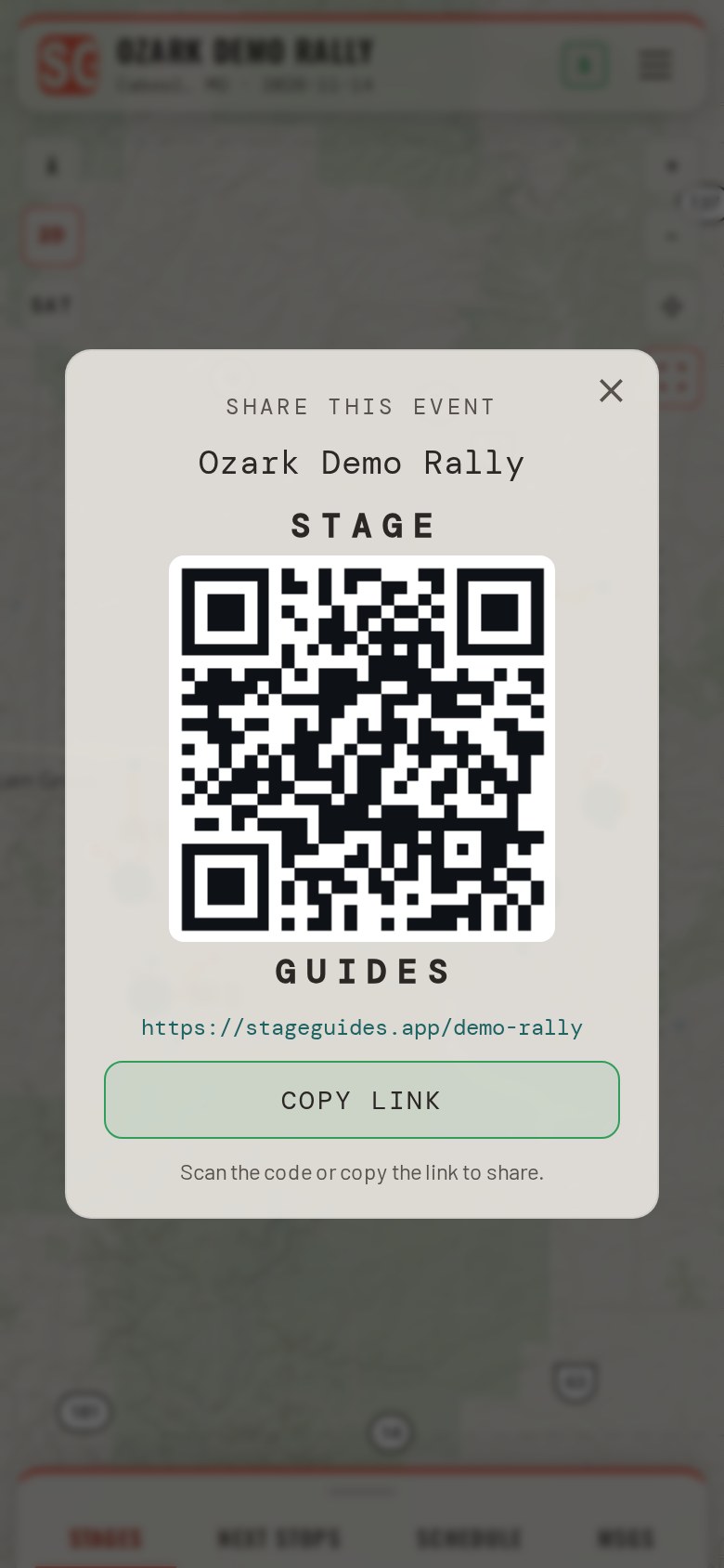
Share the guideThe event's link and its QR code, from the app's Share screen.
Open the menu and tap Share: the event's link and its QR code are on the screen. A friend scans it off your phone, or a screenshot of it goes by text.
SponsorsThe event's sponsors, in the guide every spectator is holding.
The SPONSORS tab lists the event's sponsors with a tap through to each. Sponsor marks also appear in the header, on the schedule, and on the stage or place they back.